Brandon Garman
Cartography, GIS, Planning, Design & Web
“The commonality between science and art is in trying to see profoundly, to develop strategies of seeing and showing." - Edward Tufte

Cleveland Metropark Zoo Map
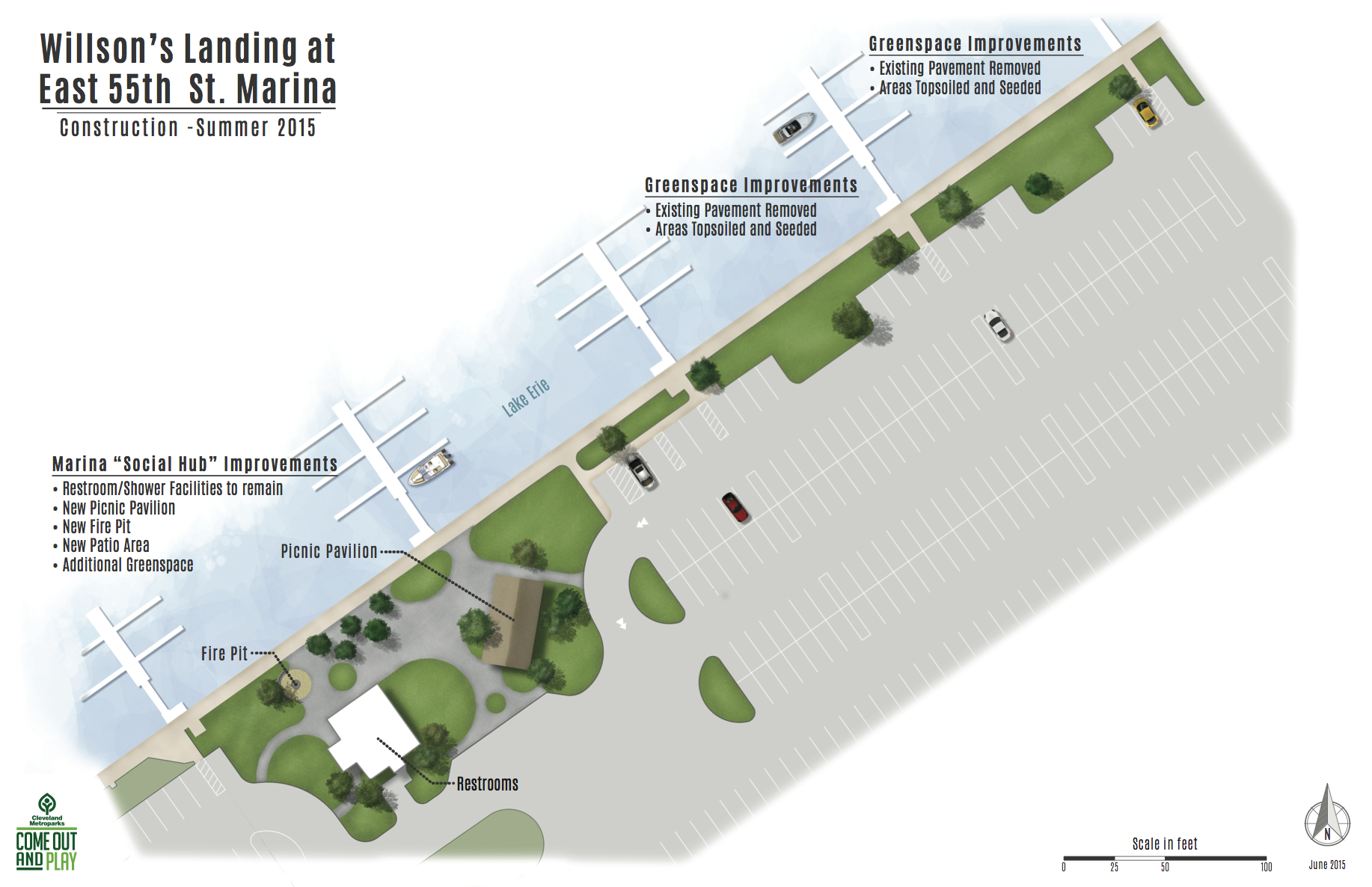
Willson's Landing Color Site Plan

BEHI Map
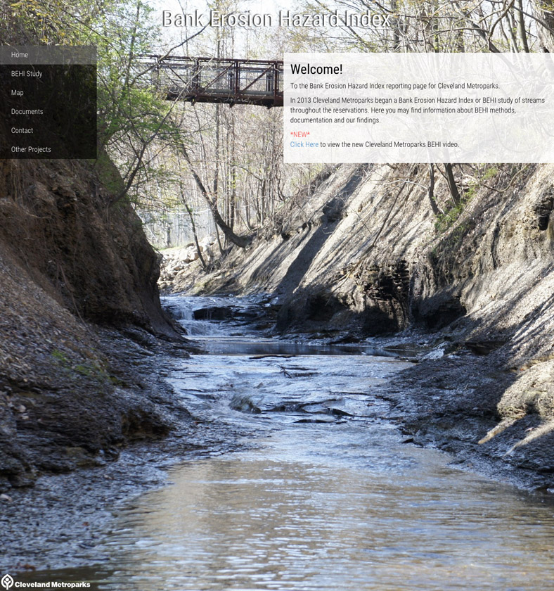
BEHI Website
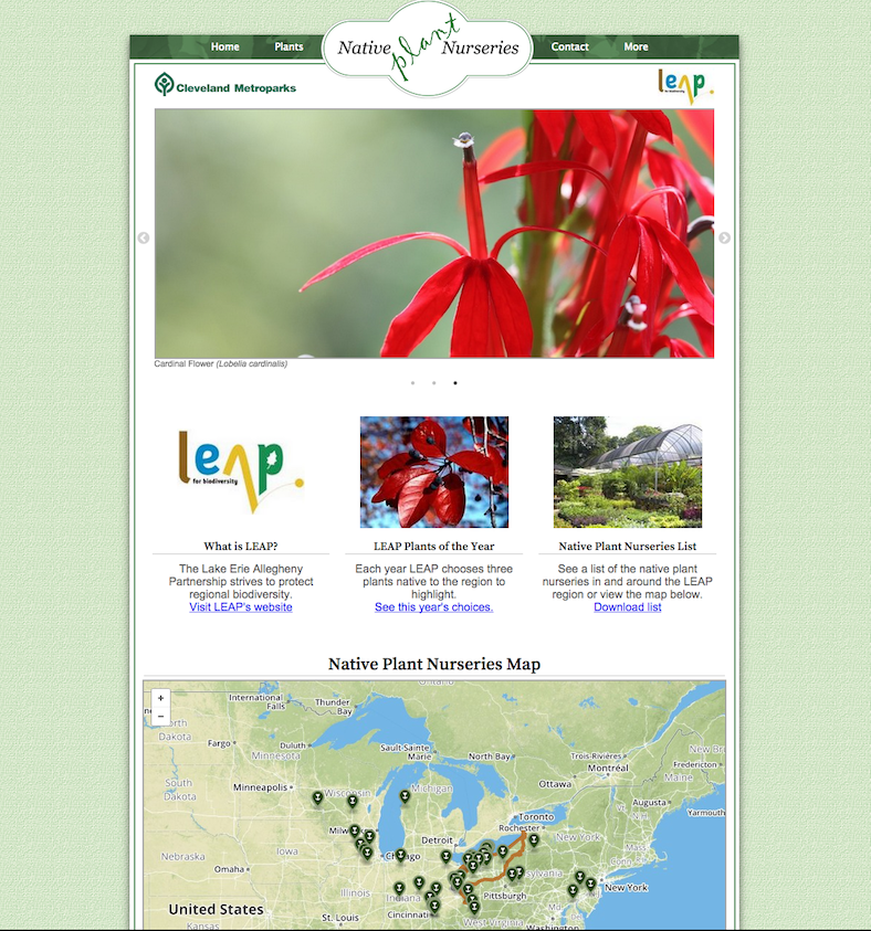
Native Plant Nurseries Website
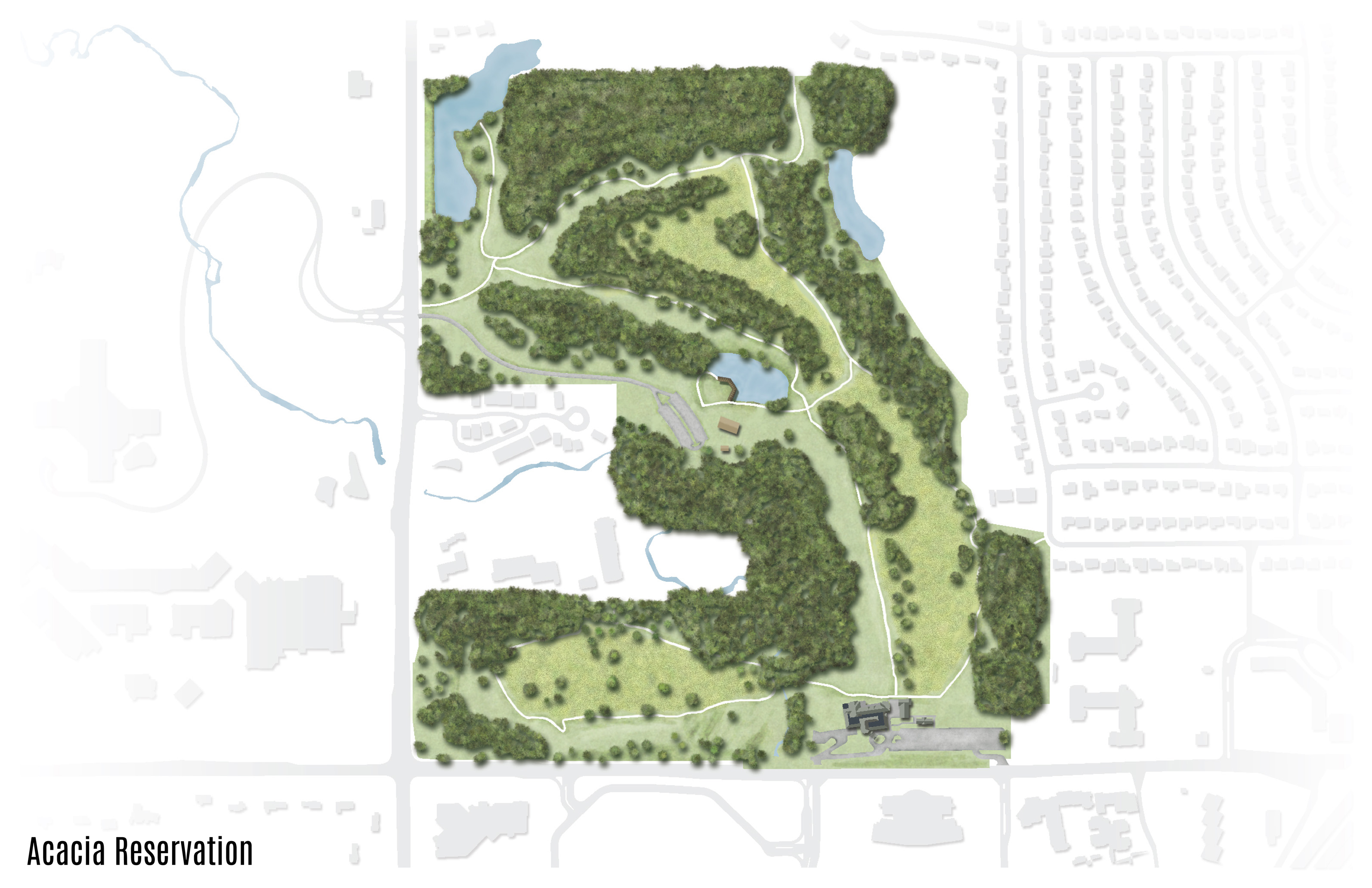
Acacia Site Plan
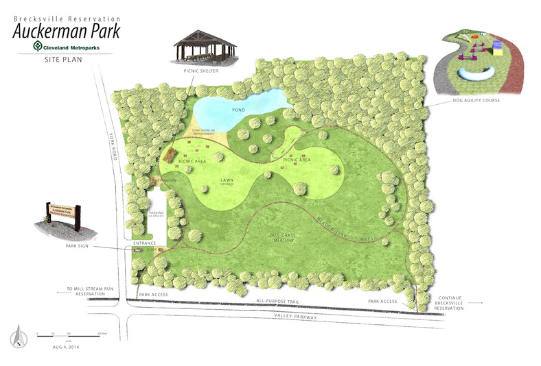
Auckerman Park Site Plan

BEHI Data Map
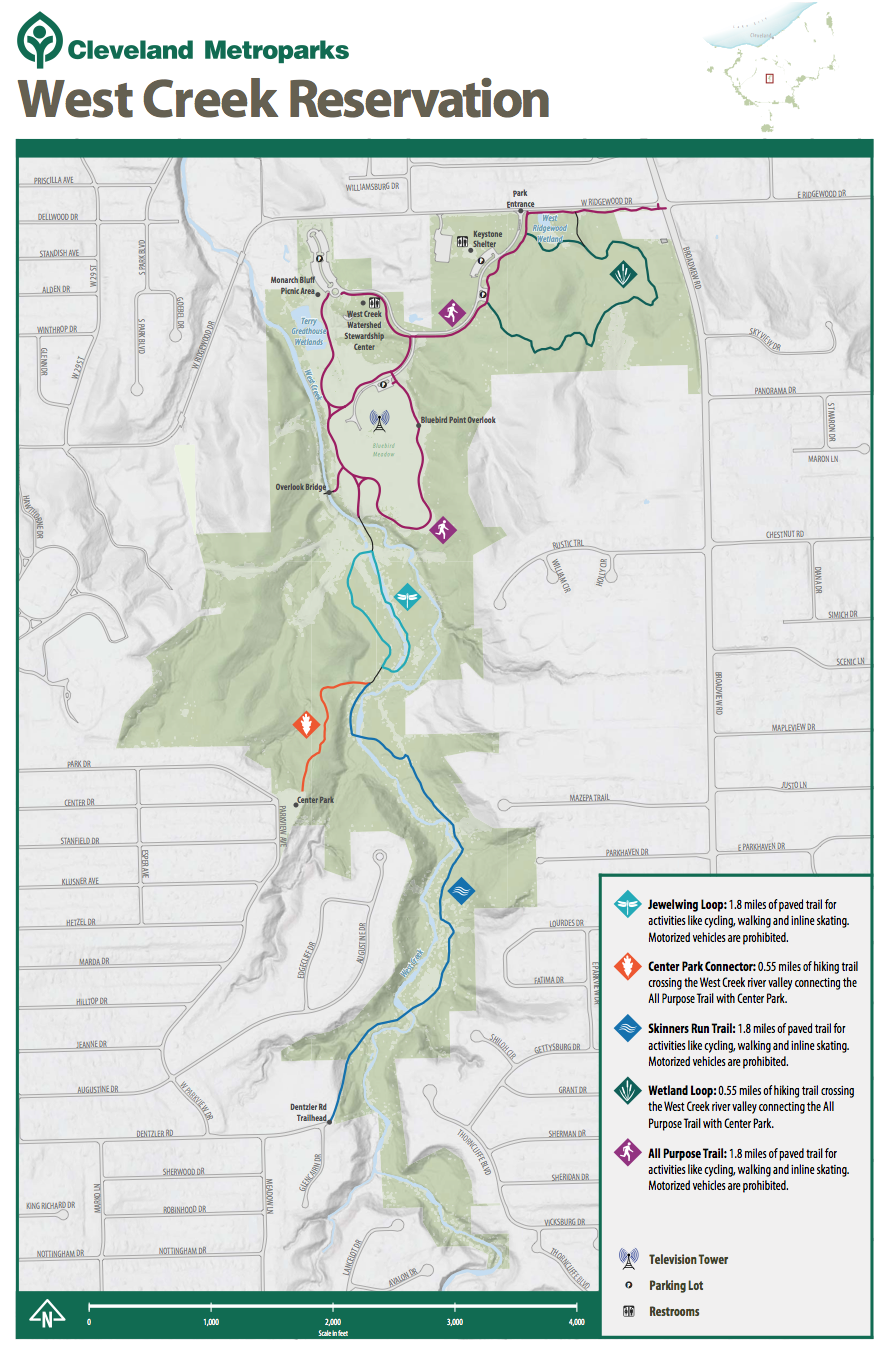
West Creek Reservation Trail Map
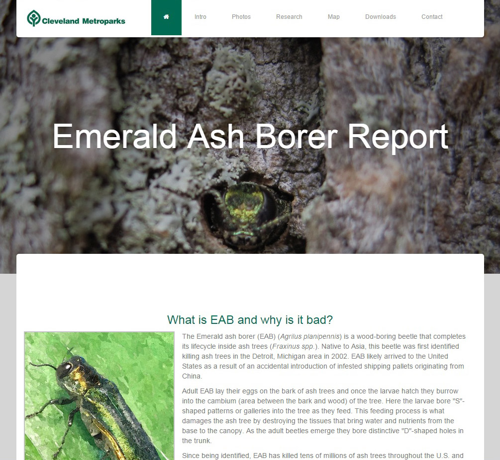
EAB Website
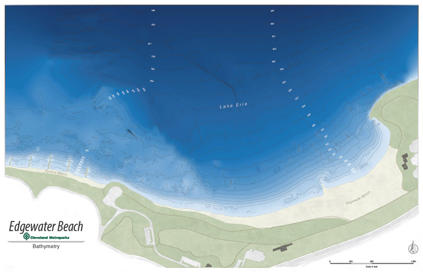
Edgewater Beach Bathymetry

Drone Infographic
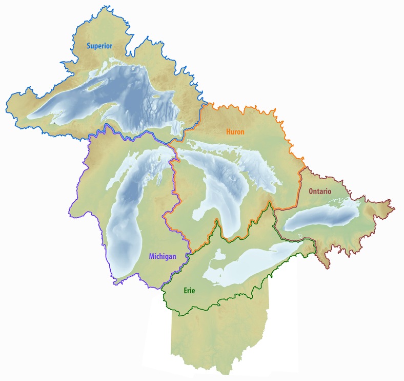
Great Lakes Watersheds
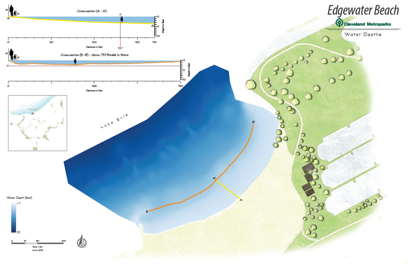
Edgewater Beach Depths
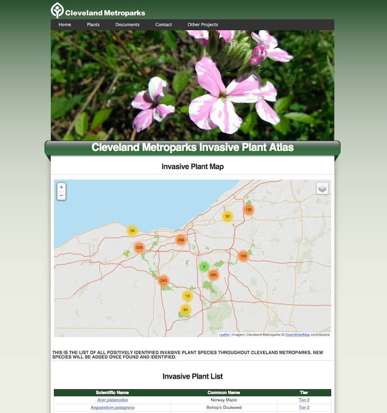
Invasive Plant Atlas Website
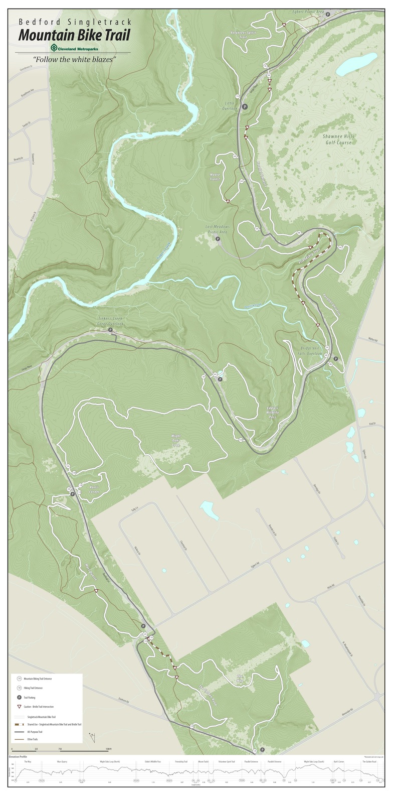
Bedford Reservation Mountain Bike Trail Map

Ohio & Erie Canal Towpath Trail Map
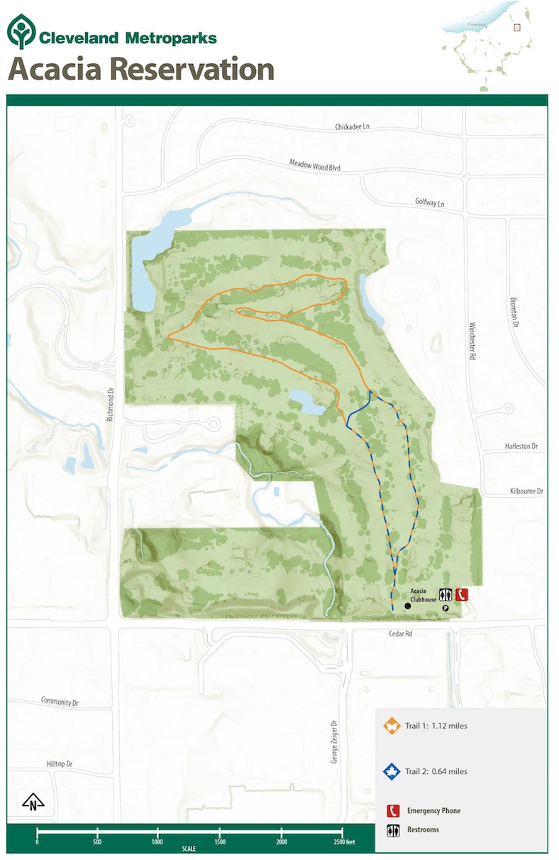
Acacia Reservation Trail Map

Euclid Beach Depths Graphic
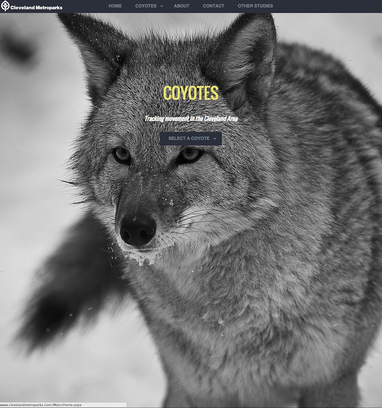
Coyote Website
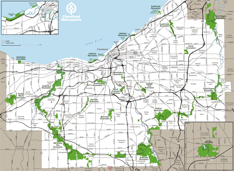
Cleveland Metropark Systemwide Map
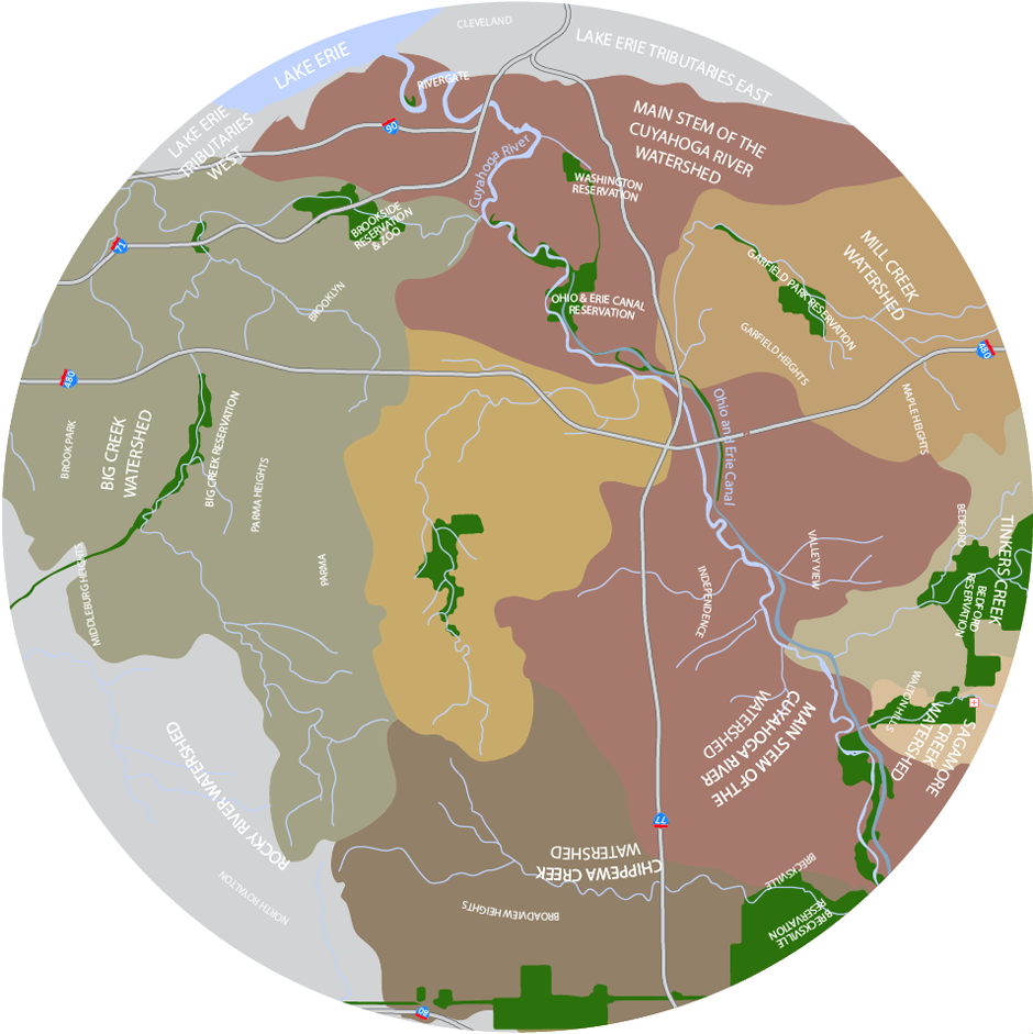
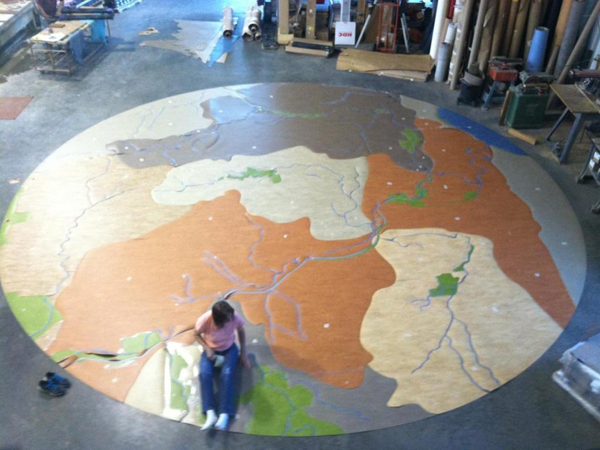
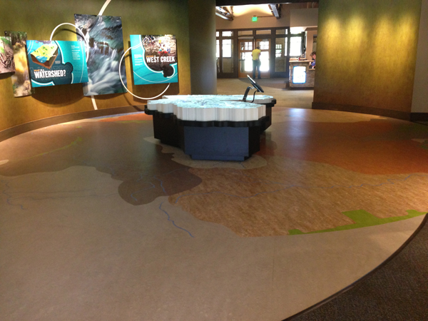
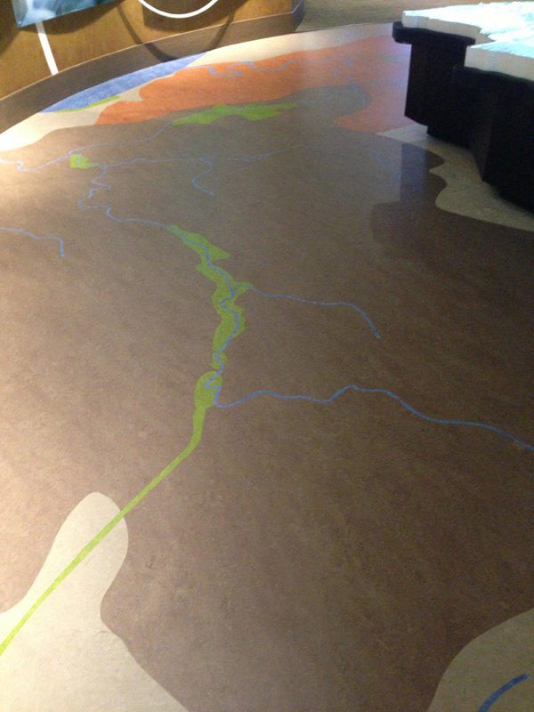
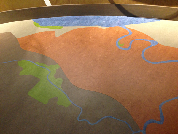
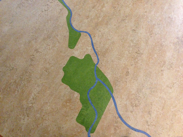
West Creek Watershed Stewardship Center Floor Map
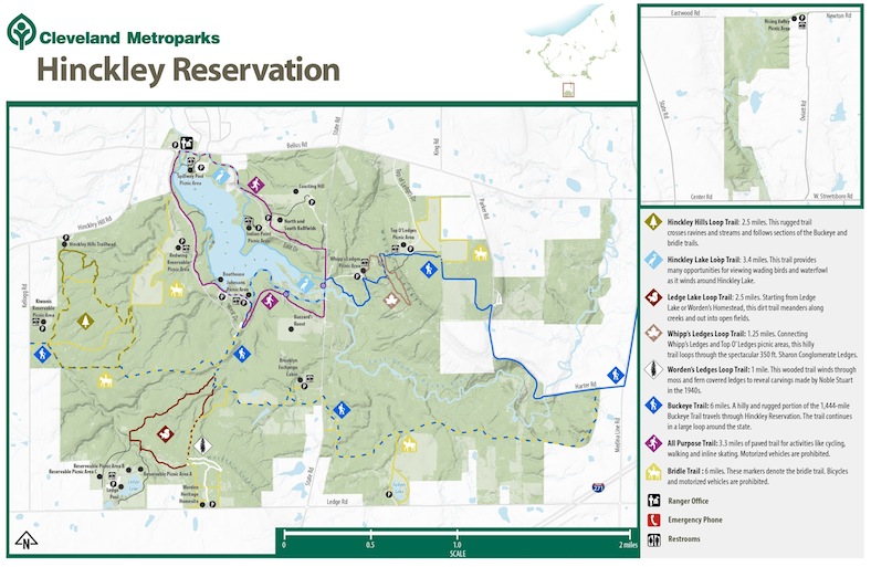
Hinckley Reservation Trail Map
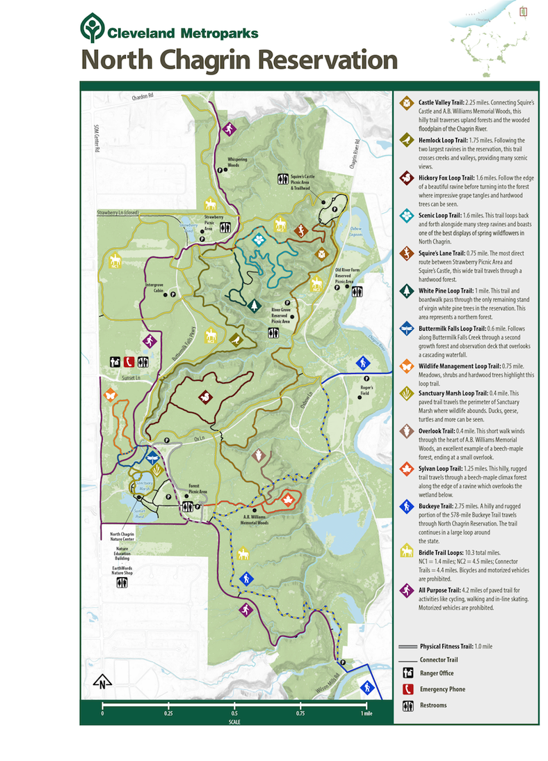
North Chagrin Reservation Trail Map
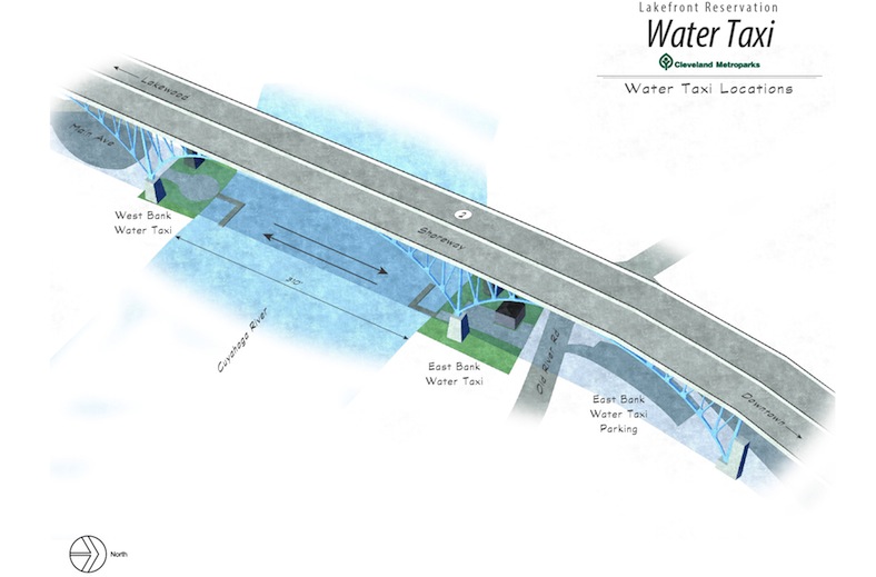
Water Taxi Graphic
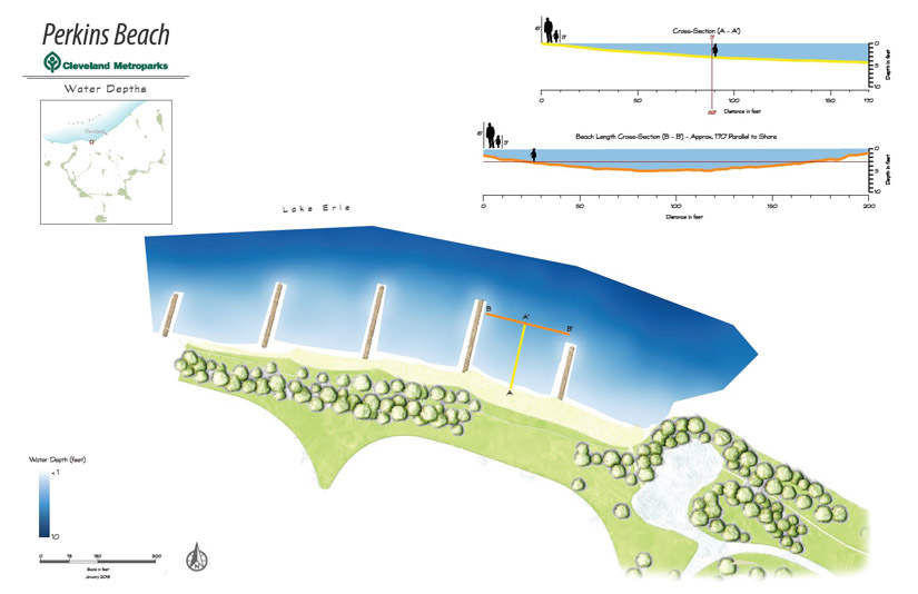
Perkins Beach Depths